
How autonomous mining trucks work when GPS signals are unreliable





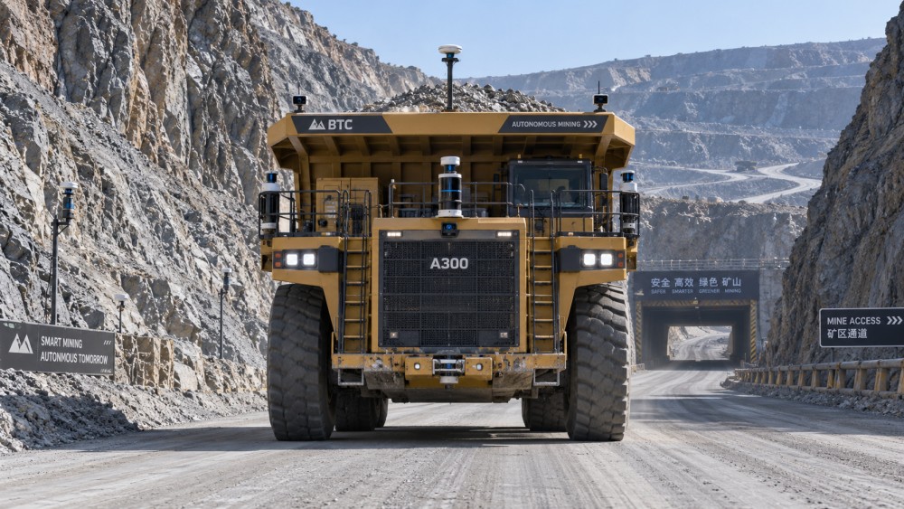
When an autonomous haul truck passes beneath a high pit wall, enters a loading pocket, or travels through a portal toward an underground transfer area, GPS may become intermittent, biased, or unavailable. The operational risk is not simply that the truck “does not know where it is.” Position uncertainty can affect stopping logic, speed control, right-of-way decisions, route adherence, and the ability of fleet control to keep separation between machines.
How does autonomous mining trucks work when GPS signals are unreliable? They do not rely on satellite positioning as a single source of truth. A properly designed autonomous system uses a layered localization and perception stack: GNSS where it is trustworthy, inertial measurement, wheel and steering feedback, LiDAR, radar, cameras where suitable, mapped infrastructure, and vehicle-to-fleet communications. The system continually compares these inputs, estimates confidence, and applies a defined degraded-mode response before position error becomes unsafe.
GPS loss is usually a localization-quality problem, not a simple on/off event
Satellite navigation in a mine can degrade for several reasons. Deep open pits restrict sky visibility and create multipath reflections, where signals bounce from benches, walls, or equipment before reaching the antenna. Dust, rain, blasting activity, and antenna obstruction may further reduce usable signals. In underground workings, satellite reception normally disappears shortly after a portal or decline entrance.
The important engineering question is therefore not whether a truck “has GPS,” but whether the navigation solution remains within its required accuracy, integrity, and availability limits for the current task. A truck travelling on a wide, segregated haul road can tolerate a different uncertainty envelope from one reversing into a crusher approach, passing a manned light vehicle, or operating beside a shovel in a constrained loading zone.
Autonomous control software monitors this distinction continuously. It can detect poor satellite geometry, disagreement between positioning sources, unexpected drift, loss of correction signals, or a mismatch between observed surroundings and the expected map. Instead of treating every input equally, the system estimates which signals remain credible and reduces dependence on those that do not.
The navigation stack: multiple sources, one vehicle pose
To move safely, the truck needs an estimate of its position, heading, speed, and motion relative to the mine environment. This is often called the vehicle pose. The estimate is not produced by one sensor; it is produced through sensor fusion.
GNSS and correction services
Global Navigation Satellite System receivers provide absolute geographic positioning in open-sky areas. High-accuracy operation generally depends on correction methods that reduce satellite clock, orbit, and atmospheric errors. GNSS remains extremely useful because it anchors the fleet to a common coordinate frame. It also helps a vehicle recover its global position after a temporary outage.
Its limitation is that apparent accuracy can be misleading near high walls. A receiver may still report a position while its solution is influenced by reflected signals. Autonomous systems should therefore use integrity indicators, correction status, satellite geometry, and cross-checks against other sensors rather than accepting a coordinate solely because it is available.
Inertial measurement and odometry
An inertial measurement unit, or IMU, uses accelerometers and gyroscopes to measure changes in motion. Combined with wheel-speed sensing, drivetrain feedback, steering angle, and sometimes transmission state, it can estimate how far and in which direction the truck has moved since its last trusted reference.
This is critical during short GPS interruptions. If the last confirmed position is known, inertial and odometric data can propagate the pose through a brief shadowed section. But they are not permanent replacements for absolute localization. Small sensor biases, wheel slip, tire growth, rough-road vibration, and changing payload cause accumulated error. On a loaded truck descending a wet ramp, relying on dead reckoning alone for an extended period would be inappropriate.
LiDAR, radar, and camera-based observations
Environmental sensors help the truck locate itself relative to stable surroundings while also detecting hazards. LiDAR produces dense range measurements and can identify road edges, berm faces, tunnel walls, pillars, fixed signs, and other mapped geometry. Radar is less affected by dust, fog, and poor lighting than optical systems, and it is valuable for detecting large objects and maintaining redundant obstacle sensing. Cameras can provide lane-like visual cues, signs, markers, and classification data, although their performance depends more strongly on illumination, lens cleanliness, glare, dust, and contrast.
No single perception sensor works equally well in all mine conditions. A dry, well-defined tunnel wall may be highly usable for LiDAR localization. A freshly blasted heading with changing profiles, airborne dust, and temporary equipment is more difficult. Radar may preserve obstacle awareness when visibility declines, but it does not necessarily provide the geometric detail needed for precise map matching. The navigation design must account for these different failure patterns.
Maps give the truck context that sensors alone cannot provide
Autonomous haulage usually operates within a controlled operational design domain rather than on arbitrary terrain. The mine maintains digital representations of approved roads, intersections, stopping locations, dumping areas, loading approaches, exclusion zones, speed restrictions, and relevant fixed features. These high-definition or operational maps provide expected geometry and route rules.
Map-based localization compares current sensor observations against known features. A LiDAR scan may align with tunnel walls and a ramp crest; radar returns may confirm a berm or fixed reflector; vehicle motion may be constrained by the known centreline of an approved haul route. This process can keep localization stable when GNSS becomes weak, provided the map still represents the operating area accurately.
That condition matters. Mine roads evolve. Benches advance, ramps are regraded, bunds move, and stockpile profiles change. A navigation system that depends on map matching needs an update workflow with version control, validation, distribution to vehicles, and clear rules for what happens when a truck encounters an unverified change. A highly accurate map of last month’s road is not a safe substitute for current site conditions.
What happens when localization confidence falls
Reliable autonomy is defined as much by its degraded behavior as by normal performance. The control system should not wait for complete loss of position before acting. It establishes thresholds that relate localization uncertainty to the active driving task and route geometry.
The exact thresholds depend on braking capability, haul-road width, traffic density, grade, sight distance, intersection layout, and the required separation from people and equipment. A low-confidence condition at crawl speed on an isolated service lane is not equivalent to the same condition while a loaded truck approaches a dump point.
Obstacle avoidance must remain independent of GPS quality
Localization tells the truck where it believes it is. Perception tells the truck what is physically around it. Those functions interact, but they should not be confused. Even with excellent GNSS, a truck requires onboard detection to identify an unexpected vehicle, rockfall, windrow breach, animal, person, or parked machine. Conversely, during a GPS outage, it must still be able to detect and respond to immediate obstacles.
Autonomous trucks build an occupancy representation from LiDAR, radar, cameras, and sometimes additional site infrastructure. The planner then evaluates whether the intended path is clear and whether stopping distance is sufficient. If a detected object occupies the travel corridor, the safest response may be controlled braking rather than attempting a complex avoidance maneuver. Mine haulage routes are often designed to support predictable traffic behavior, which makes stopping and waiting preferable to improvising around an uncertain object.
Sensor contamination is a practical concern. Dust accumulation, mud splash, vibration, damaged lenses, misalignment, and blocked fields of view can degrade perception without producing a dramatic hardware fault. Diagnostic monitoring should distinguish between a sensor that is electrically connected and a sensor that is delivering usable environmental information.
Fleet control reduces uncertainty at the traffic-system level
Vehicle autonomy is only one part of safe mine movement. Fleet management assigns routes, controls access to constrained zones, maintains dispatch awareness, and can prevent conflicting movements before vehicles meet. When a truck loses reliable GPS, fleet control may receive a lower-confidence position estimate, a last confirmed location, or a declared degraded-mode status. That information should change how the system manages surrounding traffic.
Useful strategies include reserving a road segment for the affected vehicle, preventing another autonomous truck from entering a narrow section, holding traffic at an intersection, or directing recovery only when a verified route is available. Communications latency and coverage must be considered, particularly around portals, ramps, and underground areas. The truck’s immediate safety functions cannot depend entirely on a remote command arriving at the right moment.
In underground operations, localization may use fixed wireless infrastructure, surveyed reference markers, tunnel geometry, or locally installed beacons as additional aids. These are not merely substitutes for GPS; they are components of an underground-specific positioning architecture. Their value depends on physical placement, survey quality, maintenance, electromagnetic compatibility, and the consequences of a single point of failure.
A practical way to evaluate a system for unreliable-GPS areas
Technical evaluation should start with the mine’s actual signal environment and operating tasks, not with a generic accuracy claim. A useful assessment asks where GNSS degradation occurs, how long it lasts, whether the locations are repeatable, and what the truck is required to do there.
- Map the coverage problem: identify pit walls, portal transitions, switchbacks, loading faces, dump approaches, workshops, and other zones where GNSS availability or integrity changes.
- Define task-level tolerance: specify the maximum acceptable localization uncertainty for travel, intersection crossing, loading alignment, dumping, reversing, and stopping.
- Review sensor diversity: verify that localization does not depend on sensors vulnerable to the same environmental condition. Two satellite receivers alone are not meaningful diversity in a GPS-denied tunnel.
- Inspect degraded-mode logic: confirm what triggers caution, speed reduction, stop behavior, route restriction, and recovery. The response should be deterministic and visible in operational records.
- Test realistic disturbances: include dust, poor contrast, wet roads, wheel slip, map changes, occluded landmarks, parked equipment, and communication loss where relevant.
- Examine recovery procedures: determine how the vehicle regains a trusted pose after stopping, who can authorize release, and how the fleet is protected while the condition is resolved.
Claims of centimetre-level positioning should be interpreted carefully. The more useful question is whether the system can demonstrate bounded, monitored uncertainty through the specific areas where the mine expects it to operate. A precise estimate that cannot signal when it is wrong is less valuable than a slightly less precise system with strong integrity monitoring and conservative fallback behavior.
Route and infrastructure design can make autonomy more resilient
Not every GPS problem should be solved inside the truck. Road design, traffic rules, communications coverage, surveyed landmarks, and maintenance discipline can reduce the burden on onboard autonomy. Consistent berm geometry and protected roadside features may improve map localization. Segregated routes and controlled entry points simplify conflict management. Stable reference infrastructure near portals or narrow ramps can support transitions between satellite-supported and local positioning.
Changes to the physical environment should be connected to the digital map process. When a road is rerouted or a dump edge moves, the operational system needs a controlled method to confirm that the new geometry is available to autonomous vehicles before normal travel resumes. This is especially important where map constraints are used to compensate for weak GNSS.
GPS unreliability does not make autonomous haulage impossible. It makes system engineering more demanding. Safe operation depends on redundant sensing, credible confidence estimates, current maps, independent obstacle detection, and conservative behavior when the vehicle cannot prove its position well enough for the task ahead.
Related News
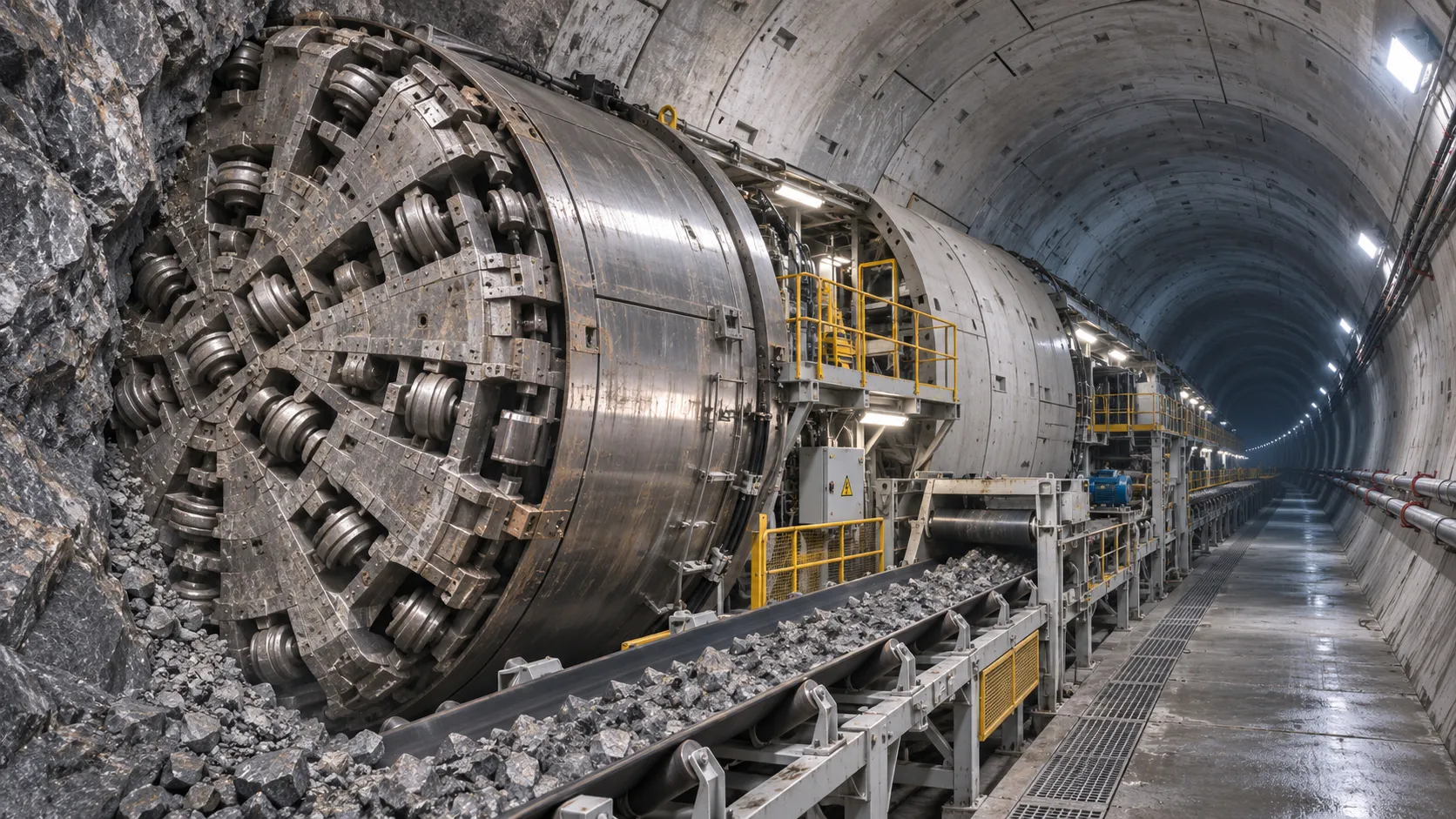
How TBM Excavation Works in Rock and Soft Ground: A Practical Guide
TBM Excavation in rock and soft ground explained: compare machine types, ground support, spoil removal, and the factors that guide smarter project planning.
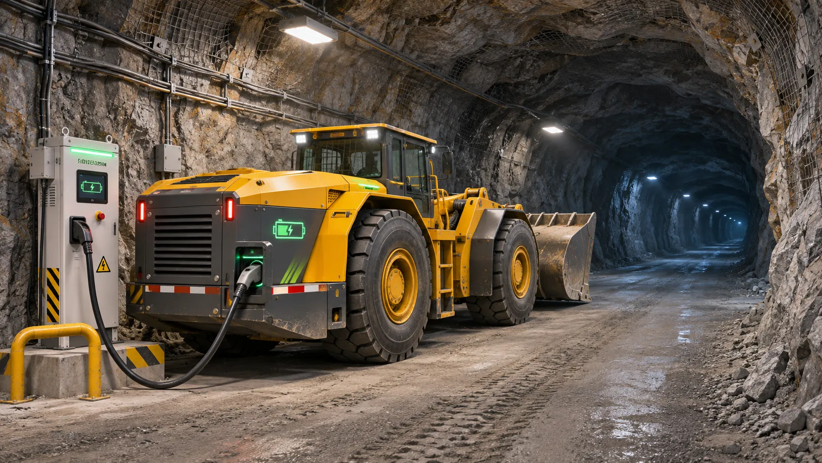
Choosing a Zero-Emission Underground Equipment Supplier: What to Check
Choosing a zero emission underground equipment supplier? Compare duty-cycle performance, charging, safety, total costs and support before you commit.
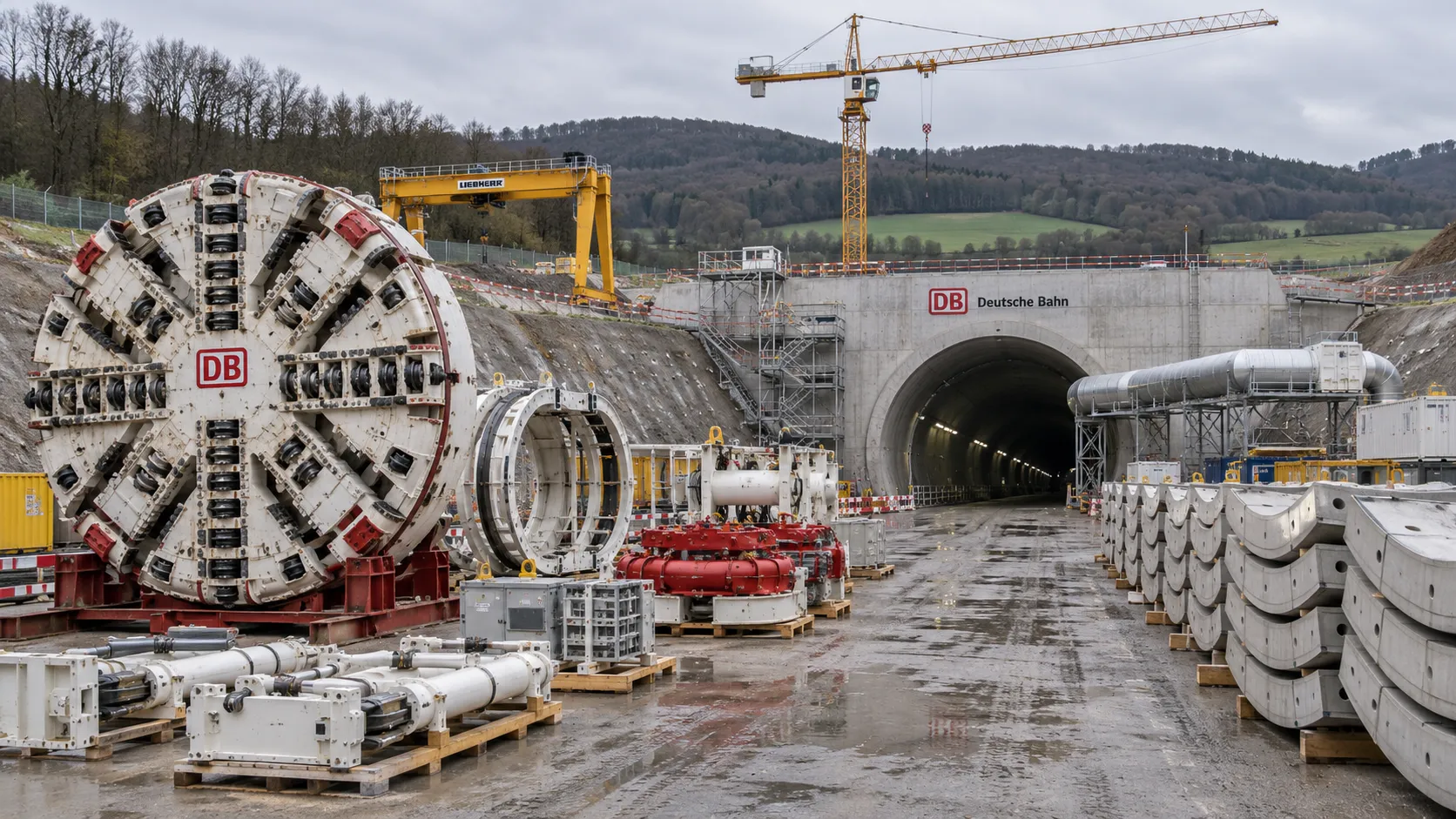
Construction Starts on Germany's Pfaffensteig Rail Tunnel, With Two TBMs Planned
Pfaffensteig rail tunnel construction is underway in Germany. Discover how two planned TBMs will support the 11-kilometre project near Stuttgart.
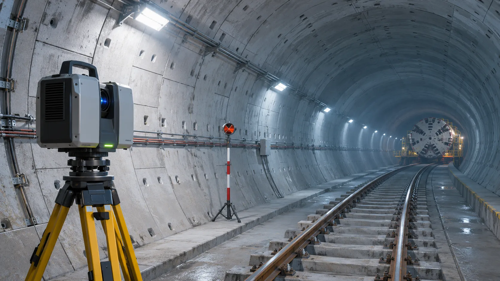
How Real-Time Underground Mapping Systems Work in Tunneling
Discover how real-time underground mapping systems guide tunneling teams, integrate sensor data, and support confident decisions with verified accuracy.
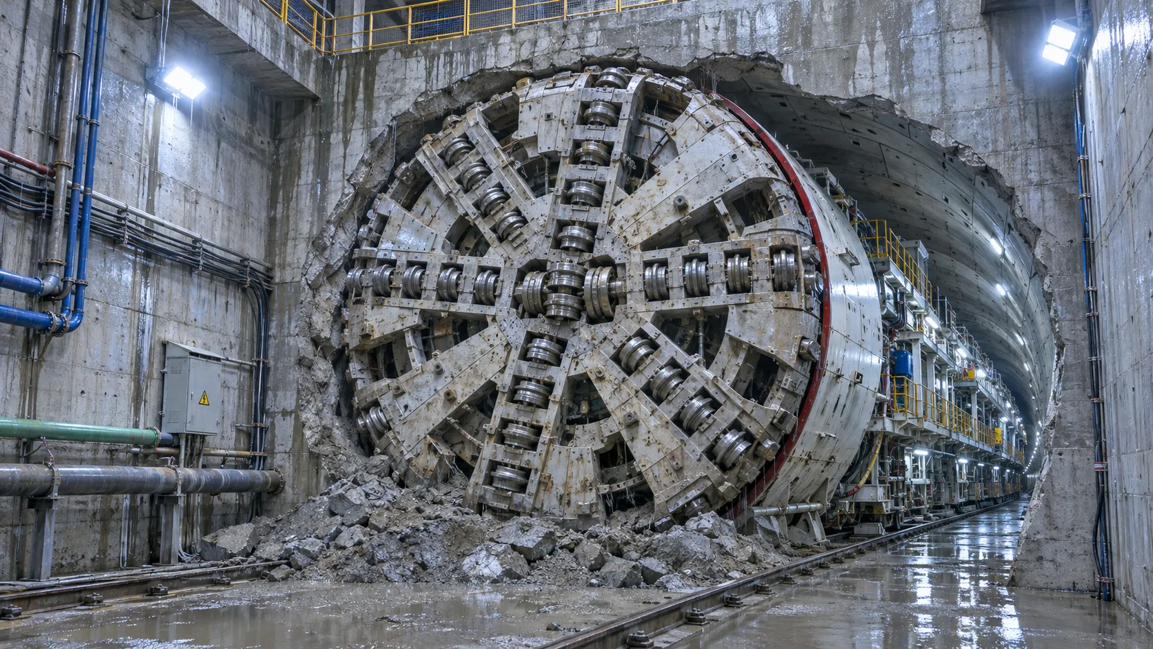
First Mechanized Tunnel Crossing Beneath the Panama Canal Completed
Panama Canal tunnel crossing: Explore the reported Metro Line 3 milestone and what it could mean for future underwater tunneling projects.
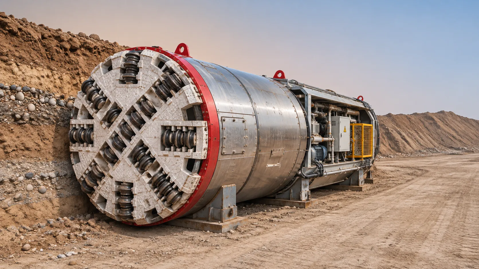
Underground Utility Construction Equipment: Choosing by Ground Conditions
Choose underground utility construction equipment with confidence. Compare trenching, HDD, microtunnelling and TBMs by ground conditions, risk and cost.
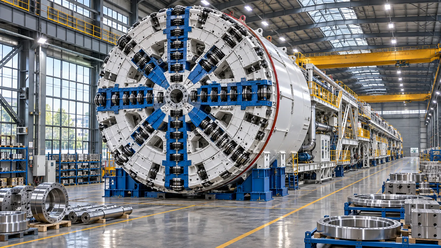
China Sets Tunnel Boring Machine Export Controls as India Pushes Local Production
China tunnel boring machine export controls could reshape procurement as India pushes local production. Explore potential supply and project impacts.
Choosing a Trenchless Pipeline Installation Contractor: Key Qualifications
Choose a trenchless pipeline installation contractor with confidence. Learn how to assess experience, equipment, safety, costs, and project risks before you hire.
China's 70% TBM Share and Export Controls Challenge India's Local Production
China's TBM export controls could challenge India's local production and infrastructure sourcing. Explore the potential risks and procurement options.
Related News
- 00
0000-00
How TBM Excavation Works in Rock and Soft Ground: A Practical Guide - 00
0000-00
Choosing a Zero-Emission Underground Equipment Supplier: What to Check - 00
0000-00
Construction Starts on Germany's Pfaffensteig Rail Tunnel, With Two TBMs Planned - 00
0000-00
How Real-Time Underground Mapping Systems Work in Tunneling - 00
0000-00
First Mechanized Tunnel Crossing Beneath the Panama Canal Completed
Weekly Insights
Stay ahead with our curated technology reports delivered every Monday.