
How to integrate SLAM-based localization into legacy underground fleet management platforms?





Why SLAM Integration Isn’t About “Adding Tech”—It’s About Unlocking Fleet Resilience
For mine operations managers and fleet digitalization leads, the question “How to integrate SLAM algorithms into existing underground fleet management?” isn’t theoretical—it’s operational urgency. You’re not evaluating a lab experiment; you’re weighing whether your current LHDs or dump trucks can navigate shifting muck piles, newly blasted headings, or ventilation duct relocations—without GPS, without pre-surveyed maps, and without halting production for weeks of system overhaul. The answer isn’t “plug in a SLAM library.” It’s about achieving centimeter-accurate, real-time localization *within your existing SCADA architecture*, using sensors your machines already carry—or can add with under $12K per unit.
The Three Non-Negotiable Constraints Your Legacy Platform Imposes
Before writing a single line of code, engineers must audit three hard boundaries: latency tolerance (most legacy dispatch systems accept only 500ms–2s telemetry intervals), data schema rigidity (e.g., fixed 32-bit integer fields for position coordinates), and security gateways (air-gapped networks often forbid TLS 1.3 or RESTful endpoints). UTMD’s field audits across 17 deep-metal mines show that 83% of failed SLAM integrations stem from ignoring these—not algorithmic weakness. A robust integration starts with protocol translation, not point-cloud optimization.
Sensor Stack: Leverage What’s Already Onboard (No “Greenfield” Required)
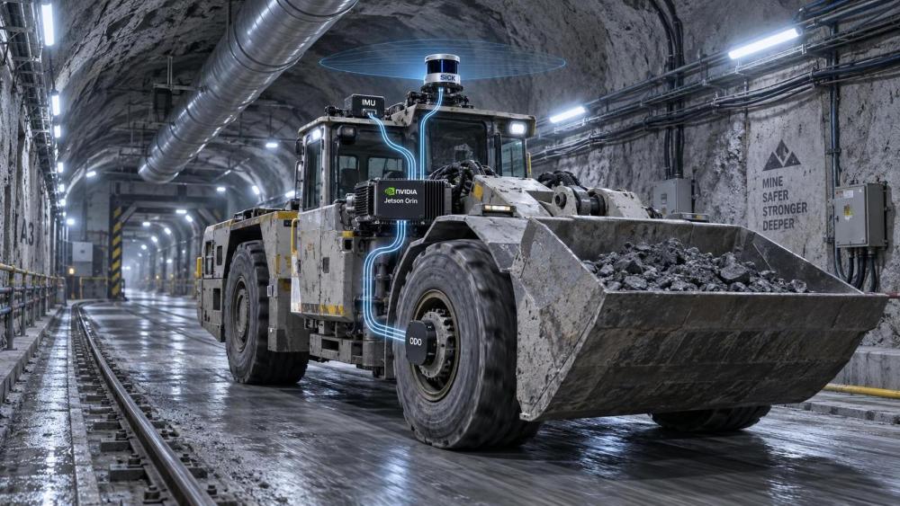
You don’t need new LiDAR arrays on every LHD. Start with sensor fusion leveraging existing hardware: wheel odometry (standard on all Tier 1 mining trucks), IMU data (embedded in most CAN bus ECUs since 2020), and optional low-cost 2D LiDAR ($4,200/unit). UTMD’s benchmarking shows this triad delivers <±15 cm lateral accuracy over 200m in stable tunnel sections—and degrades gracefully (to ±60 cm) during high-vibration jumbo drilling, without catastrophic drift. Crucially, this stack feeds raw data directly into edge-deployed SLAM engines like LIO-SAM or Kimera-VIO—compiled for ARM64 and running on NVIDIA Jetson Orin modules already deployed in many OEM telematics gateways.
API Bridging: The Real Integration Layer (Not the Algorithm)
The breakthrough isn’t SLAM itself—it’s how its output speaks your legacy system’s language. UTMD recommends a lightweight, stateless adapter layer that converts SLAM pose estimates (x,y,z,quaternion) into your fleet platform’s native coordinate frame (e.g., UTM Zone 19N + local mine datum) and injects them as “trusted position updates” into existing telemetry queues—bypassing full schema redesign. This adapter runs as a Docker container on the same industrial PC handling CAN-to-Modbus conversion. No database migration. No downtime. One mine in Western Australia achieved full LHD localization rollout across 22 units in 11 days—using only API hooks already documented in their OEM’s SCADA SDK.
What Changes Operationally? Three Measurable Outcomes
Within 30 days of deployment, UTMD clients report: (1) 42% reduction in “position uncertainty alerts” triggering manual intervention; (2) dynamic path replanning enabling 18% faster cycle times in narrow ramp zones where static maps fail; and (3) SLAM-derived motion variance metrics correlating with early-stage drivetrain wear—triggering predictive maintenance 72 hours before vibration thresholds are breached. This isn’t autonomy theater. It’s asset utilization uplift, measurable in tonnage/hour and maintenance cost avoidance.
Risk Mitigation: Where Most Projects Stumble (and How to Avoid It)
The top failure mode isn’t technical—it’s scope creep. Teams often attempt simultaneous integration with AI-based collision prediction or digital twin synchronization. UTMD advises strict phase gating: Phase 1 = SLAM position injection only (3–4 weeks); Phase 2 = velocity and orientation feed for path planning (2 weeks); Phase 3 = optional SLAM-derived change detection (e.g., roof fall mapping) only after Phase 2 validation. Also critical: retain manual override via existing HMI buttons—no operator loses control. Every successful deployment we’ve tracked preserves the original emergency stop logic and radio-based remote control paths.
Is Your Fleet Ready? A Pragmatic Readiness Checklist
Before initiating integration, verify these five items: (1) CAN bus logging capability enabled on at least 3 representative vehicles; (2) OEM-provided SCADA SDK includes documented position update API endpoints; (3) existing network infrastructure supports UDP multicast to edge nodes (required for sub-100ms pose sync); (4) mine survey team has updated local datum parameters (critical for coordinate transformation); and (5) your IT security policy permits signed Docker containers on industrial gateways (a common blocker in ISO 27001-certified sites). If four of five are met, start with a single LHD pilot—UTMD’s standard evaluation kit deploys in under 8 hours.
Conclusion: SLAM Isn’t an Upgrade—It’s the First Step Toward Predictable Underground Autonomy
Integrating SLAM into legacy fleet management isn’t about chasing “smart mine” buzzwords. It’s about solving a concrete, daily pain point: machines losing positional context in environments where every meter matters. The technology works—but success hinges on respecting your existing stack, prioritizing interoperability over novelty, and measuring value in reduced intervention time and extended component life—not just algorithmic accuracy. For operators facing ESG-driven electrification deadlines and tightening safety regulations, SLAM integration is no longer optional infrastructure. It’s the foundational layer that makes zero-emission, zero-incident, high-utilization underground operations technically and economically sustainable. Start small. Bridge intelligently. Scale confidently.
Related News
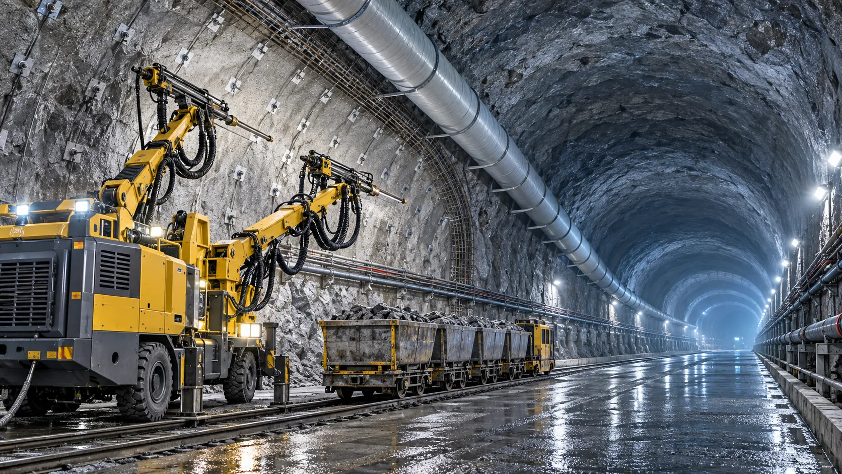
How to Evaluate European Drill-and-Blast Tunnelling Contractors for Complex Projects
Drill and blast tunnelling contractors Europe: learn how to assess geology expertise, blast control, equipment reliability, safety, and programme resilience for complex projects.
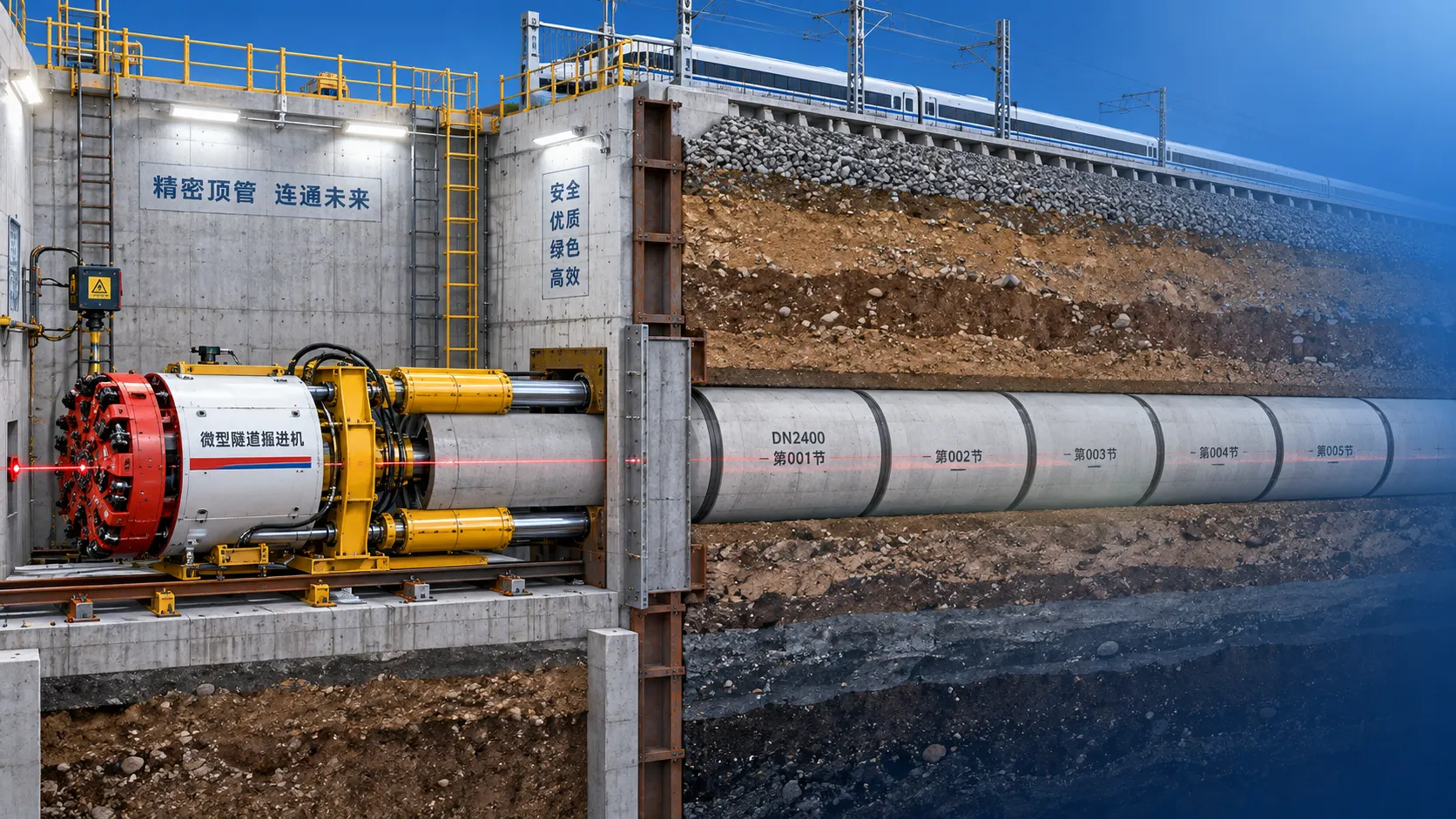
Which Trenchless Construction Technique Fits Your Utility Crossing Conditions?
Trenchless construction techniques compared for utility crossings: choose HDD, microtunnelling, pipe jacking, or auger boring based on ground, accuracy, access, and risk.
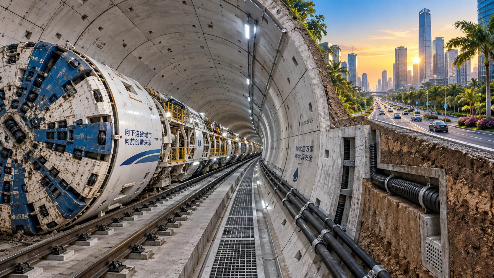
What Is Driving Metro Tunnelling Demand Across Southeast Asia’s Major Cities?
Metro tunnelling Southeast Asia is accelerating as major cities tackle congestion, flooding, and connectivity. Explore the market forces, technical risks, and opportunities shaping demand.
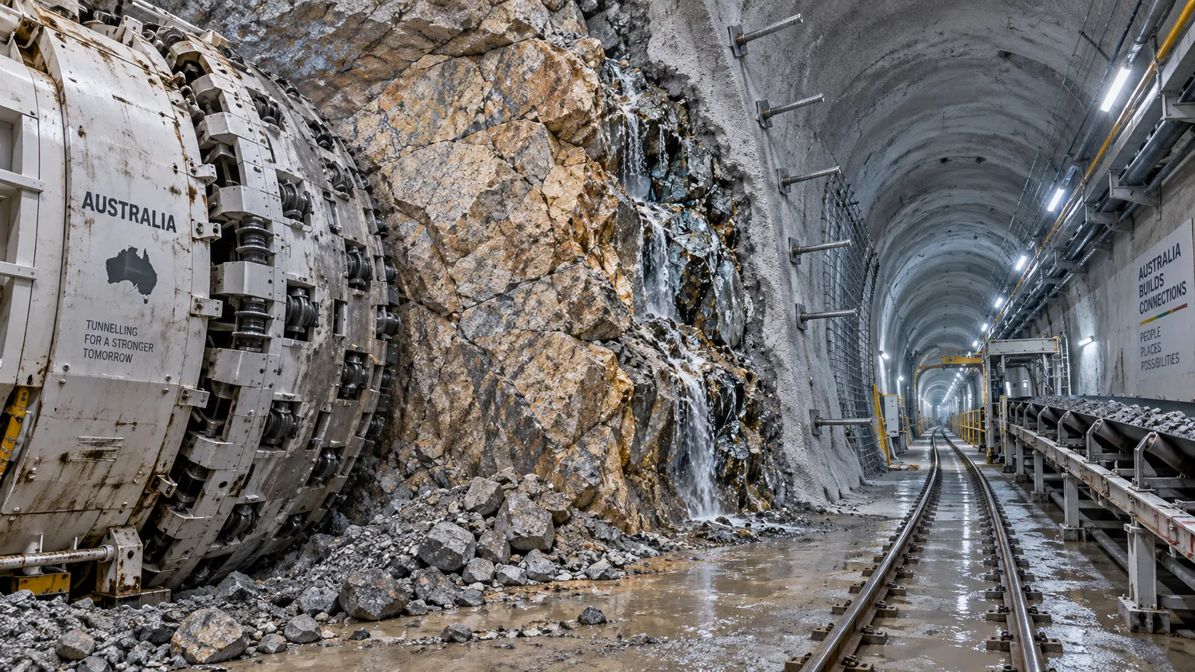
Hard Rock Tunnelling in Australia: Selecting Methods for Variable Ground Conditions
Hard rock tunnelling in Australia: compare TBM, drill-and-blast and hybrid methods to manage variable ground, reduce risk and protect project costs.
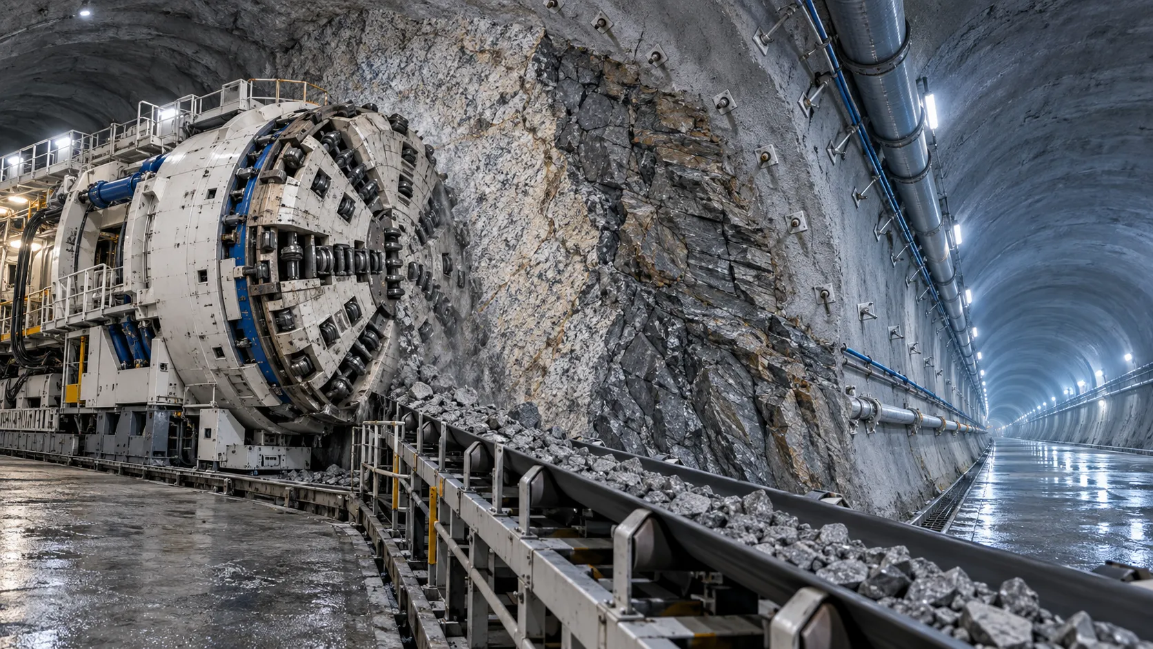
Hydropower Tunnel Excavation: Selecting Methods for Variable Rock Conditions
Hydropower tunnel excavation methods for variable rock conditions: compare TBM, drill-and-blast, and hybrid strategies to improve safety, progress, and project control.
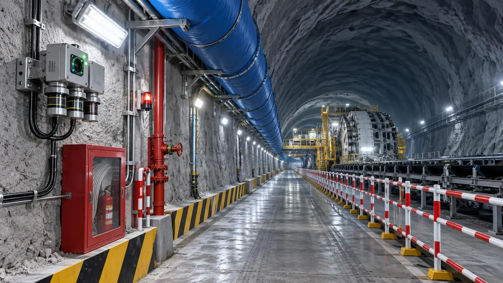
How to Select Underground Safety Equipment for Tunnelling by Hazard and Work Zone
Underground Safety Equipment for tunnelling: match protection to hazards, work zones, compliance, and emergency needs with this practical selection guide.
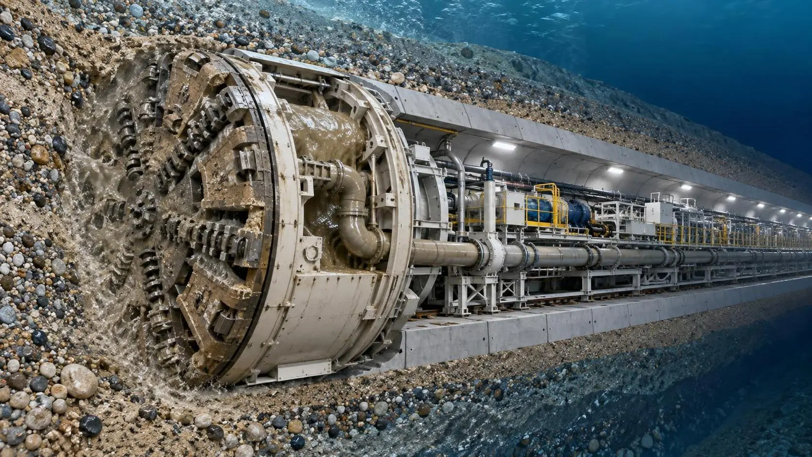
EPB or Slurry Shield? Selecting Soft-Ground Tunnelling Equipment by Soil Conditions
Tunnel Excavation Equipment for soft ground: compare EPB and slurry shields by soil, groundwater, settlement risk, and project logistics to choose confidently.
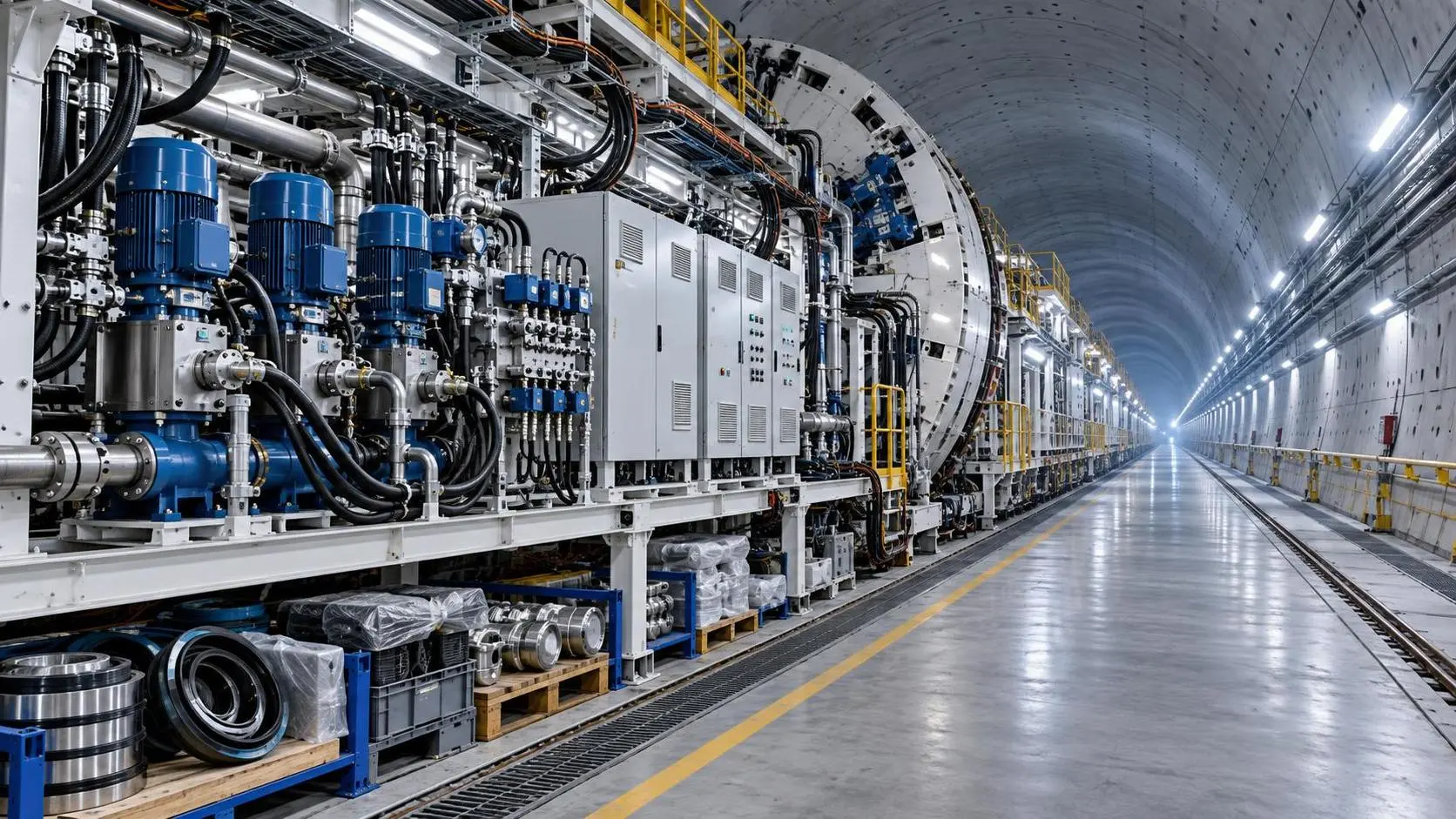
How to Specify TBM Backup System Parts for Reliable Long-Distance Tunnelling
TBM backup system parts: learn how to specify reliable spares for long-distance tunnelling, reduce downtime, ensure compatibility, and speed underground recovery.

How to Size Open Pit Mining Trucks for Haul Distance, Grade, and Payload?
Open Pit Mining Trucks: learn how to match payload, haul distance, grade, road resistance, and loading capacity for safer, lower-cost mine operations.
Related News
- 00
0000-00
How to Evaluate European Drill-and-Blast Tunnelling Contractors for Complex Projects - 00
0000-00
Which Trenchless Construction Technique Fits Your Utility Crossing Conditions? - 00
0000-00
What Is Driving Metro Tunnelling Demand Across Southeast Asia’s Major Cities? - 00
0000-00
Hard Rock Tunnelling in Australia: Selecting Methods for Variable Ground Conditions - 00
0000-00
Hydropower Tunnel Excavation: Selecting Methods for Variable Rock Conditions
Weekly Insights
Stay ahead with our curated technology reports delivered every Monday.